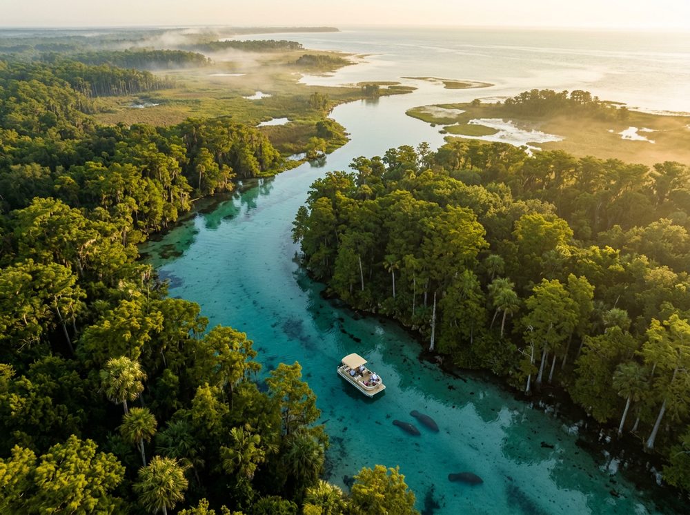
Cedar Key is the Nature Coast, a spring-fed, seagrass-rich shoreline that stays refreshingly undeveloped. Boaters here work the Suwannee Sound, the outer keys, and the oyster-rich flats, and the fishing runs deep — Spotted Seatrout, Redfish, Sheepshead headline the local catch. With 6 public launch points in and around town, getting on the water is rarely the hard part; deciding where to point the bow is.
Top ramps around Cedar Key
- Cedar Key Marina - Basin Side Boat Ramp · Salt · Gulf of America
- Cedar Key Marina - Gulf Side Boat Ramp · Salt · Gulf of America
- Cedar Key Museum State Park Kayak Launch (Long Portage Required) · Salt · Gulf of America
- Cedar Key Number 4 Bridge Boat Ramp · Salt · Cedar Key Number 4 Channel
- Lower Suwannee National Wildlife Refuge - Shell Mound Primitive Boat Launch (Small Boats Only) · Salt · Suwannee Sound
- Shell Mound Park and Public Boat Ramp · Salt · Suwannee Sound
What's biting & when
Target species:
Best months: Spring and fall inshore; summer for the flats and scalloping nearby.
Tides & timing
The nearest NOAA reference station is Cedar Key. Today's predicted tides:
High tide
12:23 AM
3.241 ft (MLLW)
Low tide
5:58 AM
1.444 ft (MLLW)
High tide
12:10 PM
3.886 ft (MLLW)
Low tide
6:53 PM
0.799 ft (MLLW)
Full 7-day Cedar Key tide chart →
Ramp locations from the FWC Florida Boat Ramp Inventory. Tide data from NOAA Tides & Currents. Species and seasonal notes are general guidance — always check current FWC regulations and seasons.